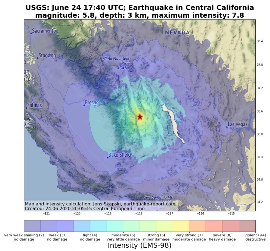
ShakeMaps are used to show the geographical distribution of earthquake intensity. While an earthquake has only one magnitude, the intensity is depending on the location relative to the epicenter.
The intensity tells you how strong you can feel an earthquake and if it is able to cause damage. Several earthquake agencies, including USGS, BMKG and SED are using ShakeMaps. Earthquake-Report.com is also publishing own ShakeMaps since May 2020. These ShakeMaps are calculated by a self-written software that predicts the most likely intensity distribution for every quake basing on its epicenter, magnitude and depth as well as some geological parameters.
The software is created by Jens Skapski and the ShakeMaps are produced for erdbebennews.de and earthquake-report.com. Are you interested to use one of the ShakeMaps for your website or newspaper? Please contact [email protected] and make a fair offer.
